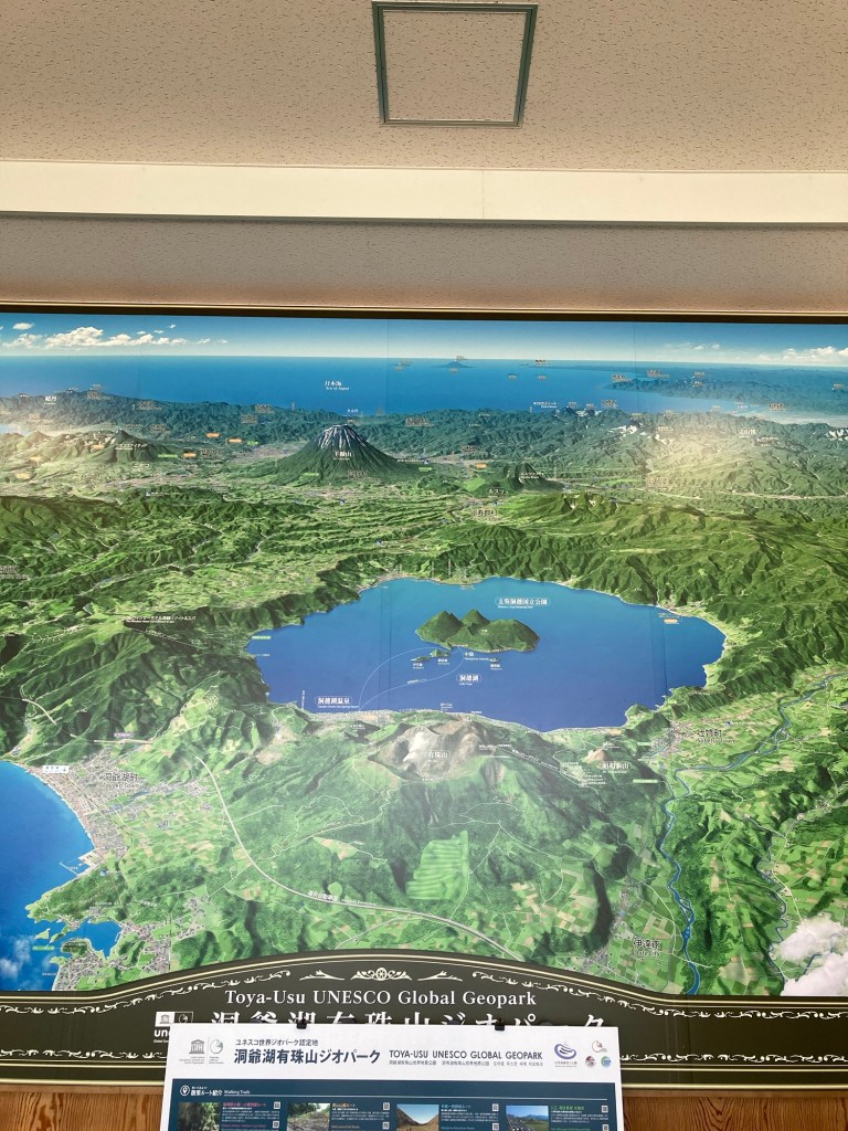
From Hakodate we have taken the train a few hours further to the east, heading for Lake Toya. Perhaps you are asking yourself – what is it this time, you two? Food and drink? A festival? Geology? If you guessed geology you are right! Lake Toya is a water filled volcanic crater, surrounded by more volcanos.
We were headed for Toya onsen town. Most descriptions of onsen towns begin with something like ‘1300 years ago a monk found this location with its hot spring and people have been coming here ever since….” Not so at Lake Toya. The area around the lake, within the caldera has lots of excellent agriculture land. In 1910 the mountain erupted and after it was all over there was a gift from the volcano – hot water! By 1916 the resort was established and 1928 there was train service. Getting from the train station to the resort was a bit of deal, I expect, as the roadway would have went up and over the caldera rim – now there is a tunnel and it is a 15 minute drive.
In the later part of 1943 the postmaster nearby the lake noticed that the agricultural fields were beginning to bulge upwards. He took detailed observations over the next two year as a new mountain was born. Mt Showashinzan is now 300 m tall. Much is covered with trees but the top is rock and it still is smoking
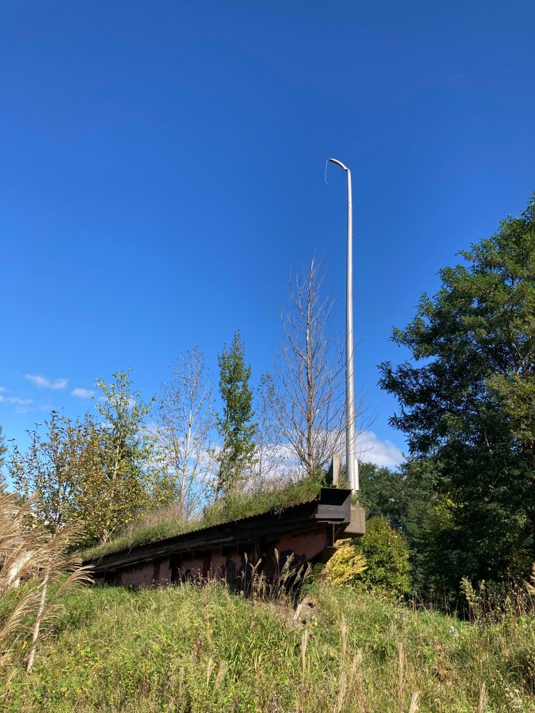
Another eruption occurred in 1977-78, producing significant ash fall. Rain on top of that caused mudslides. Knowing that the hills behind the town were composed of volcanic ash a series of dikes and diversions were built to try and protect the town.
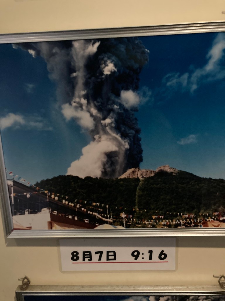
In 2000 the mountain awoke and began erupting. On the seaward flank new craters were formed, and above the town the mud came down. Signs of the eruption had been evident, and 15,000 people were evacuated. There was no loss of life, but tremendous property damage. Hundreds of building were destroyed and many more damaged. The resort along the water had ash fall, but were okay. One area of the town was destroyed. Rather than razing it the damaged buildings have been left. The diversion structures from the previous eruption helped, but did not prevent all damage
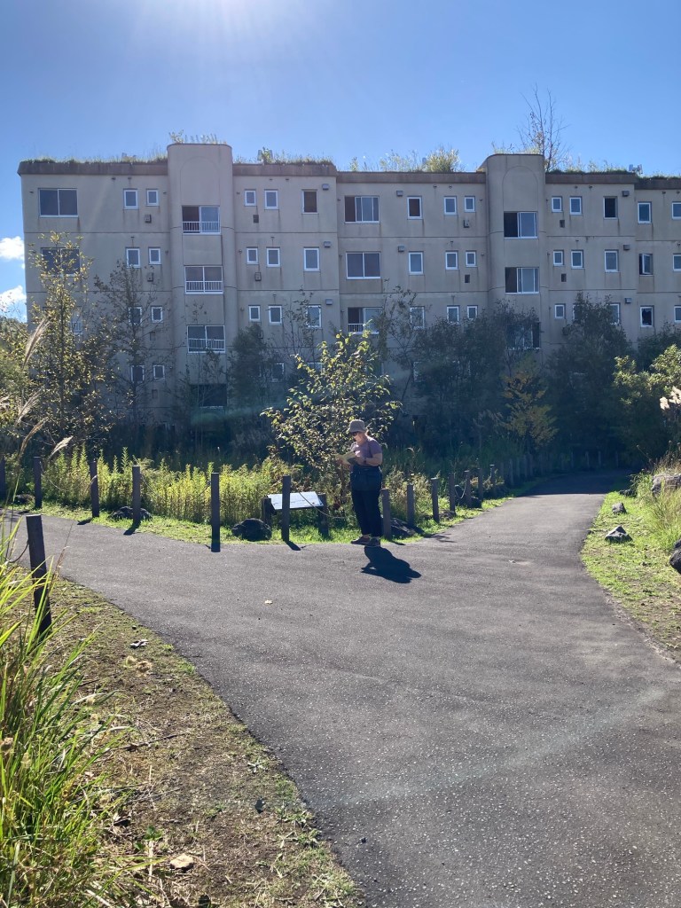
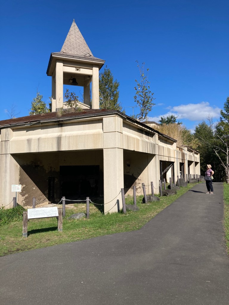
We walked up to the volcano museum, then went up and over the dike behind it to see what remained.
This small apartment building merely looks abandoned from this view point.
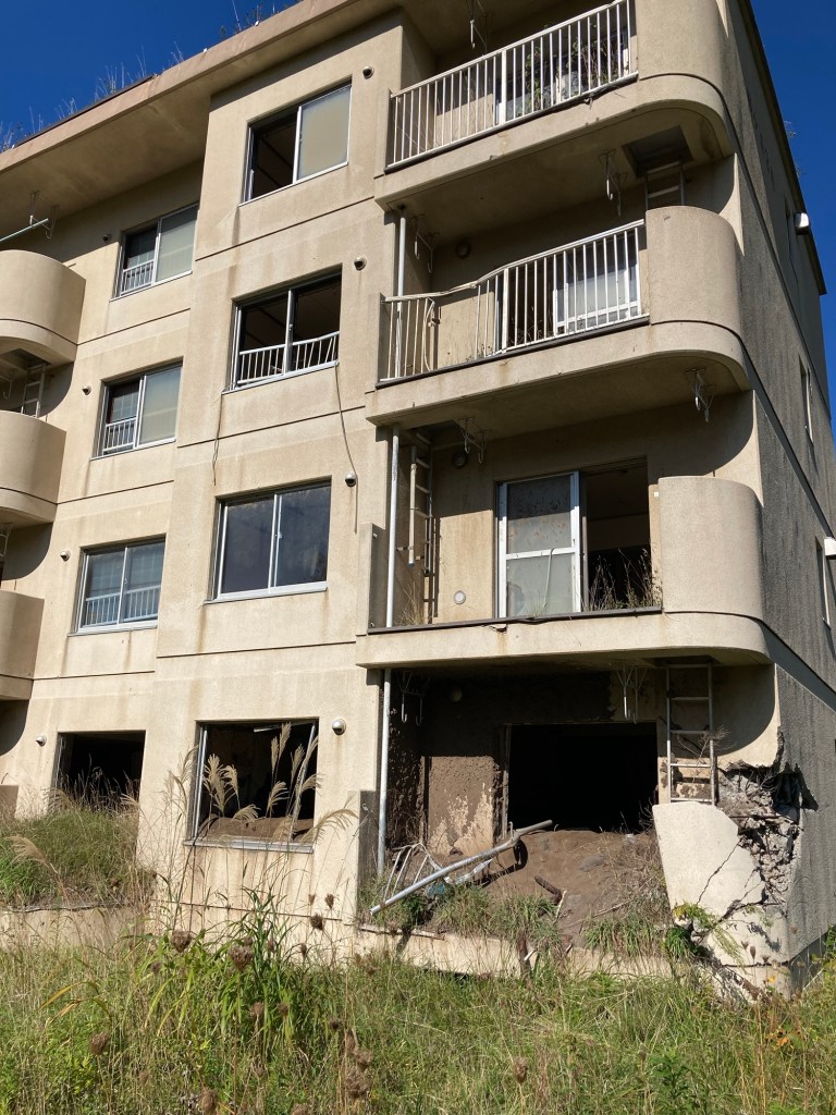
That is not the ground floor suite we are looking at – it is the second floor, full of mud. The damage to corner occurred when the highway bridge swept by.

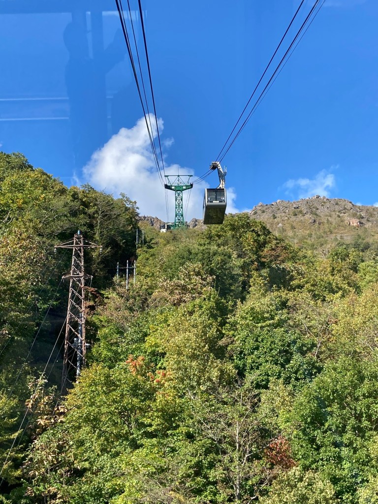
Besides visiting the site of the 2000 eruption one of the other things to do is take a cable car up to visit Mt Usu itself. It was a beautiful Sunday morning and off we went.
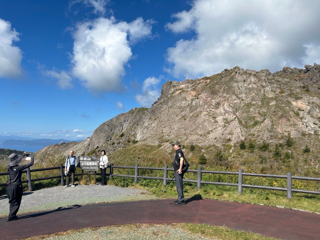
From the top of the cable car we took a walk to the observation area. From there the could look down the most recently formed crater, complete with gaseous emissions.
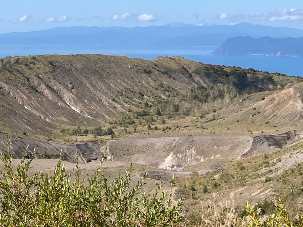
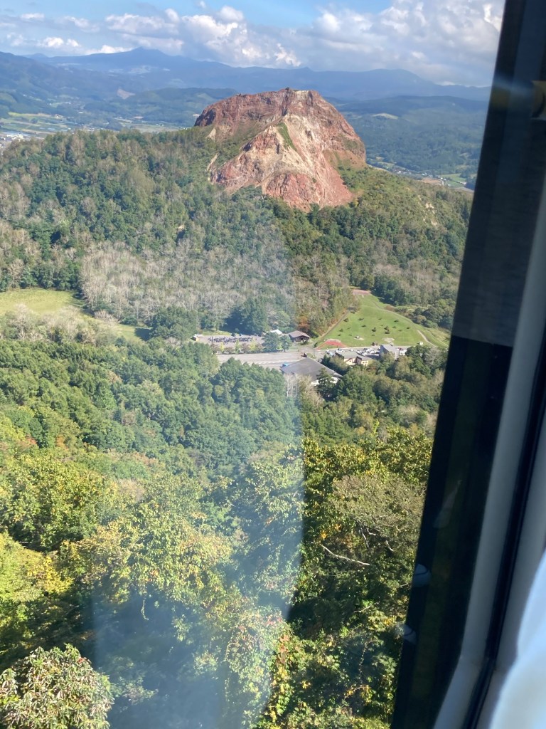
Previously from this point the lake was visible, but the mountain added to itself and now there is this huge outcrop to admire.
Back down at the cable car station there was- of course – a cafe. And there is the most beautiful seating area with comfy chairs spread out across terraces. Perfect spot to admire the view and enjoy the sunshine.

Need I say that Wilf is in volcano heaven?
